
Being guided around the winter backcountry for the first time can be an awe-inspiring experience, whether by an experienced friend, a friend of a friend or a qualified ski guide. There’s a sense of accomplishment from being completely self-sufficient in the mountains; carrying all your gear to survive on your back as you climb and descend untouched powder slopes. But when it’s time to explore new areas without guidance, getting in and out of the mountains – safely – takes on a whole new meaning. Avalanche education is the first step to making winter backcountry safer. But an Avalanche Skills Training (AST) 1 course is quite condensed and focuses primarily on rescue scenarios and introducing snow science. The next logical step after the AST 1 is to train your mountain navigation skills. Here are 4 benefits of taking a Mountain Navigation and Weather course.
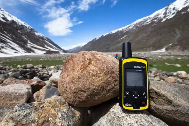

Technology is not a fail safe
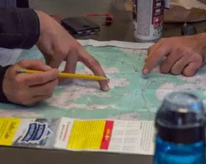
The advent of GPS-capable smartphones and affordable navigation units has made mountain navigation a much simpler task than what it was 30 years ago. But one cannot rely on these devices 100 percent of the time. Batteries drain much faster in the cold. Electronics can get accidentally dropped in rivers or creeks. Phone charge should be conserved in case the party needs to call for help. There’s no substitute for the good old-fashioned map and compass, along with the requisite skills to use them.
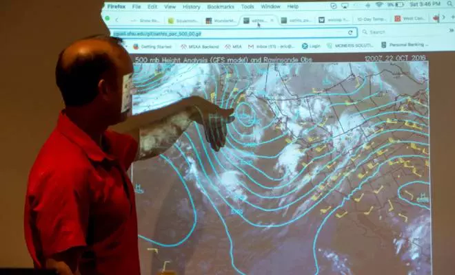

Learn to read the weather
As any experienced climber, backcountry skier or alpinist will tell you, weather can rapidly take a turn for the worst in the mountains. You can begin to anticipate these events by learning about mountain-specific weather phenomena. Know your Foehn wind from your lenticular clouds? With the accurate interpretation of modern weather maps and forecasts, you too will be able to recognize changing weather patterns in the field.


Dealing with the whiteout
One of the scariest situations one can encounter in the mountains is a full whiteout. Landmarks disappear in a fog, bearings are confused and if you’re on alpine snow or a glacier, hazards such as cliffs and crevasses become increasingly difficult to spot. But there is a method to this madness. Properly-trained parties can safely escape a storm with or without a GPS. Learning to mark where you’ve been, flagging base camp and breaking down your travel into short legs are just a few of the techniques to navigate a whiteout.

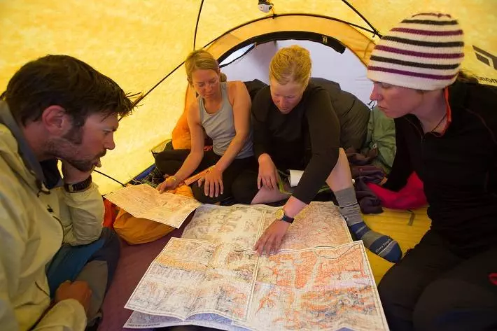
Enhance your trip plan with mountain navigation skills
Every excursion into the backcountry should start with a solid trip plan. This is when you sit down with your party (before entering the field) and discuss trip details, objectives, foreseeable hazards and travel routes. A broader knowledge of mountain navigation is extremely helpful here; if you can judge the difficulty of the route on a map you can avoid more arduous travel in the field. Good trip planning also encourages a contingency plan ie. if the weather turns, what’s your alternative route home?
Ready to take the next step into mountain navigation? We currently have openings in our fall Mountain Navigation and Weather courses on October 28-29, 2017 and November 18-19, 2017. Snow is currently falling across the South Coast of British Columbia so make sure you hit the ground running this ski touring season.
